Geodetic Engineer
Dempsey Resource Management Inc.
Job Description
- Performs land surveys to establish boundaries, elevations and topographical features.
- Uses geodetic equipment including GPS to collect and analyze survey data.
- Conducts boundary surveys, land mapping and land title surveys to determine property boundaries and prepare legal documents.
- Gather, analyze and interpret geospatial data to produce accurate maps and reports.
- Utilizes software such as GIS, AutoCAD and other mapping tools to design and develop survey results.
- Utilizes software such as GIS, AutoCAD and other mapping tools to design and develop survey results.
- Ensures that all surveying work adheres to relevant industry standards, local regulations and quality control procedures.
- Troubleshoots and resolve discrepancies in survey data and provide solutions for project-related challenges.
- Graduate of Bachelor of Science in Geodetic Engineer
- Knowledgeable in Microsoft office applications such as Powerpoint and Autocad.
- Must be trustworthy, patient and flexible.
- Good in oral and written communication.
Maria Palma
Talent Acquisition ManagerDempsey Resource Management Inc.
More than ten replies today
Working Location
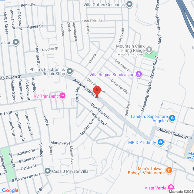
Pulung Maragul. Pulung Maragul, Angeles, Pampanga, Philippines

Posted on 05 September 2025
Explore similar jobs
View more similar jobsGeodetic Engineer/PRC Holder/2 years in Land Mapping & Surveyor
 Dempsey Resource Management Inc.
₨78.5-130.8K[Monthly]
On-site - Angeles1-3 Yrs ExpBachelorFull-time

HR Vilma DempseyTalent Acquisition Manager
Geodetic Engineer
 Likas Yaman Service Corporation
₨104.6-130.8K[Monthly]
On-site - Bulacan1-3 Yrs ExpBachelorFull-time

nathan JonHR Officer
Geodetic Engineer
 Turfgrass Management, Inc.
₨78.5-104.6K[Monthly]
On-site - Pampanga<1 Yr ExpBachelorFull-time

Jocelyn DiamanteHR and Admin Supervisor
Geodetic Engineer
 CHMI Land Inc.
₨104.6-209.2K[Monthly]
On-site - Bataan1-3 Yrs ExpBachelorFull-time

Katelyn Joy MercadoHR Officer
QA/QC Engineer
 Sinotech Asia Construction
Negotiable
On-site - Angeles3-5 Yrs ExpBachelorFull-time

SINOTECH ASIAHR Officer
Sign In to Chat with Boss
Bossjob Safety Reminder
If the position requires you to work overseas, please be vigilant and beware of fraud.
If you encounter an employer who has the following actions during your job search, please report it immediately
- withholds your ID,
- requires you to provide a guarantee or collects property,
- forces you to invest or raise funds,
- collects illicit benefits,
- or other illegal situations.
